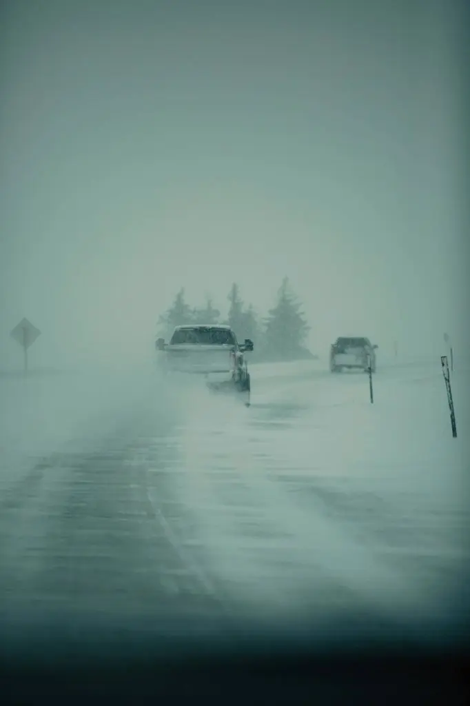
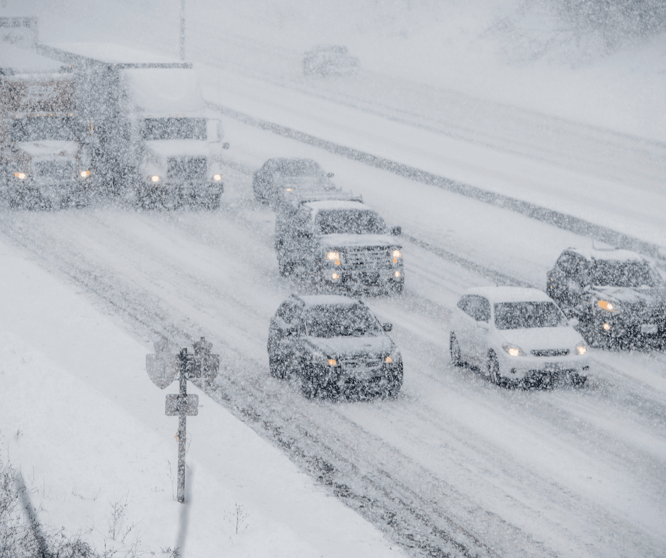
Winter storms can vary in size and strength. They can include heavy snowstorms, blizzards, snow squalls, freezing rain, and blowing and drifting snow conditions. Winter storms can also bring extreme cold.
Preparation and good decision making are critical to staying safe when winter weather strikes.
On average, Wisconsin experiences 3 to 5 winter storms per season and a significant ice storm once every 4 or 5 years.
The average date of the first snowstorm in Wisconsin is November 10.
Terms Used During Winter Storms
Hazardous Weather Outlook
Includes any potential weather hazard out to seven days. It is used for planning purposes.
Winter Storm Watch
Issued when there is a potential for a winter storm to affect the region during the next one to three days. It does not always mean the area will experience a winter storm, there is still some uncertainty of the exact path or timing of the event.
– Use this time to ensure you have supplies at home
Winter Weather Advisory
These are issued for winter weather events that are more of an inconvenience than a life-threatening situation if caution is exercised. These are often issued when three to five inches of snow, blowing and drifting snow, freezing rain, or a combination of these elements are expected.
Winter Storm Warning
Issued when dangerous winter weather is expected, occurring, or imminent. The weather can become life-threatening. Criteria includes six inches of snow or more in 12 hours, eight inches in 24 hours, or lower amounts if accompanied by strong winds or a combination of dangerous winter elements. Avoid unnecessary travel.
Blizzard
This is the most dangerous winter event. Blizzard warnings are issued when snow or blowing snow lowers visibility to 0.25 miles or less, wind gusts hit 35mph or higher, and the storm lasts for three hours or more. Travel is dangerous and should be avoided if possible.
Ice Storm Warning
Issued when freezing rain will cause widespread glazing. A coating of ice is expected to reach 0.25 inches thick or more on objects and make travel nearly impossible. For lesser amounts of ice, a freezing rain advisory would be used, but even a thin glaze of ice makes travel difficult. Tree branches and power lines can easily snap under the weight of the ice.
Snow Squall Warning
Issued when brief snow showers reduce visibility to 0.25 miles or less with gusty winds and blowing snow. Cold road temperatures could result in flash freezes and very dangerous travel conditions. Usually reserved for high-impact times.

Winter Precipitation
Snow Flurries
Light snow falling for short durations. No accumulation or a light dusting are all that is expected.
Snow Showers
Snow falling at varying intensities for brief periods of time. Some accumulation is possible.
Snow Squalls
Brief, intense snow showers accompanied by strong, gusty winds. Accumulation may be significant.
Blowing Snow
Wind-driven snow that reduces visibility and causes significant drifting. Blow snow may be snow that is falling and/or loose snow on the ground picked up by wind.
Blizzards
Winds over 35 mph with snow and blowing snow, reducing visibility to 0.25 miles or less for at least three hours.
Sleet
When snowflakes only partially melt when they fall through a shallow layer of warm air. These slushy drops refreeze as they fall and eventually reach the ground as frozen rain drops that bounce on impact.
Freezing Rain
When snowflakes melt completely as they pass through a warm layer of air. As it falls through another layer of freezing air, it doesn’t have enough time to refreeze before reaching the ground, but because they are “supercooled” they instantly refreeze upon contact with anything below freezing temperatures. A significant accumulation of freezing rain for several hours or more is called an ice storm.
Protecting Yourself…
…Before a Winter Storm
- Winterize your home.
- Make sure snow removal equipment is in good working condition. Have salt on hand to melt ice on walkways and sand or kitty litter to generate temporary traction.
- Have sufficient heating fuel in case regular fuel sources are cut off. For example, store a good supply of dry, seasoned wood for your fireplace or wood-burning stove.
- Make sure your furnace gets a tune-up, so it is running efficiently. Don’t forget to check the furnace filter.
- Insulate walls and attic space.
- Caulk and weather-strip doors and windows.
- Install storm windows or cover windows with plastic from the inside.
- Wrap pipes with pipe insulation to prevent frozen pipes.
- Clean gutters. Leaves and debris in gutters and downspouts restrict water flow from melting snow, which leads to ice build-up in the gutters and eventually ice dams.
- Have your chimney or flue inspected each year.
- Have emergency supplies on hand.
- Make sure your emergency kit is properly stocked.
- Have sufficient heating fuel in case regular fuel sources are cut off. For example, store a good supply of dry, seasoned wood for your fireplace or wood-burning stove.
- Have at least 3-5 days of food on hand, including items that do not require refrigeration or cooking in case there is a power outage.
- Make sure you have all essential medications.
- Fire extinguisher
- Prepare your vehicle.
- Check or have a mechanic check the following:
- Antifreeze levels
- Battery
- Wipers
- Windshield washer fluid
- Ignition system
- Thermostat
- Lights/Flashing hazard lights
- Exhaust system
- Heater/Defroster
- Brakes
- Oil level
- Install good winter tires that have adequate tread
- Maintain at least half a tank of gas at all times
- Make sure your exhaust pipe is clear
- Have a vehicle emergency kit
- Don’t leave the house without a fully-charged phone
- Let someone know where you are going and the route you will take
- Make sure your vehicle is clear of ice and snow before driving
- Check or have a mechanic check the following:
- Bring your pets indoors. If you cannot bring them inside, provide adequate shelter to keep them warm and make sure they have access to unfrozen water.
…During a Winter Storm
- Listen to local media for current information.
- Minimize outdoor activities. Drive only if it is absolutely necessary.
- If caught outdoors:
- Find shelter. Try to stay dry and cover all exposed body parts
- When there is no shelter nearby, build a lean-to, windbreak, or snow cave for protection from the wind. Build a fire for heat and attract attention.
- Melt snow for drinking water. Eating snow will lower your body temperature.
- Exercise. From time to time, move arms, legs, fingers, and toes to keep blood circulating and keep warm. Avoid overexertion, as the strain may cause a heart attack.
- If in a vehicle.
- Slow down. Even if roads look wet, they could be slick
- If you begin to skid, remain calm and ease your foot off the gas. Turn your wheels in the direction you want the front of the car to go. If you have an anti-lock brake system (ABS), apply steady pressure to the brake pedal. Never pump the brakes on an ABS equipped vehicle.
- If a blizzard traps you in a vehicle:
- Pull off the highway. Turn on hazard lights and hang a bright-colored cloth, preferably red, from the radio antenna or window.
- Remain in your vehicle where rescuers are most likely to find you. You may become disoriented in blowing and drifting snow.
- Run the engine and heater about 10 minutes each hour to keep warm. When the engine is running, open a downwind window slightly for ventilation and periodically clear snow from the exhaust pipe. This will protect you from possible carbon monoxide poisoning.
- Exercise to maintain body heat, but avoid overexertion. In extreme cold, use road maps, seat covers, and floor mats for insulation. Huddle with passengers and use your coat for a blanket.
- Take turns sleeping. One person should be awake at all times to look for rescue crews.
- Drink fluids to avoid dehydration.
- Be careful not to waste battery power. Balance electrical energy needs – the use of lights, heat, and radio – with supply.
- Turn on the inside light at night so work crews or rescuers can see you
- If stranded in a remote area, stomp large block letters in an open area spelling out HELP or SOS and line with rocks or tree limbs to attract the attention of rescue personnel who may be surveying the area by airplane.
- Leave the car and proceed on foot – if necessary – once the blizzard passes.
…After a Winter Storm
- Continue monitoring media for emergency information
- Call 9-1-1 to report emergencies, including downed power lines and gas leaks.
- Stay off streets and roads until they are clear of snow.
- Take frequent breaks when shoveling snow to prevent overexertion.
- Clear exhaust vents from direct vent gas furnace systems to avoid carbon monoxide poisoning.
- Dig out fire hydrants and storm drains in your neighborhood.
- Clear snow from the sidewalk on your property, including nearby curb cuts for wheelchair access.
- Check your roof and clear accumulated snow to avoid roof collapses.
- Be aware of children climbing or running out from large snowdrifts.
- Check on family, friends, and neighbors who may need additional assistance.
- Check your vehicle before starting the engine. Parked vehicles can attract cats and small wildlife which may crawl under the hood for shelter. Bang on your vehicle’s hood to scare animals away.

